Satellite Data
Filter Satellite Data by Mission
|
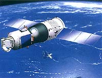
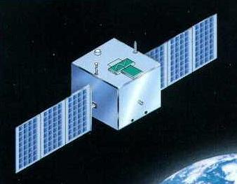
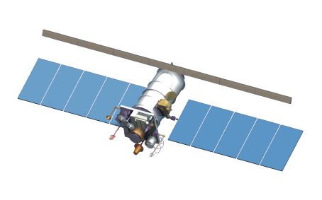
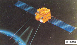
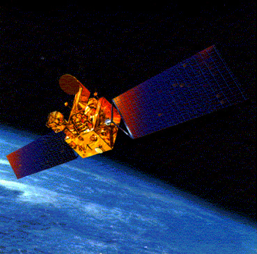
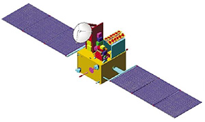
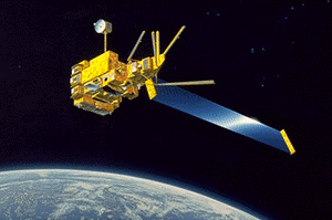
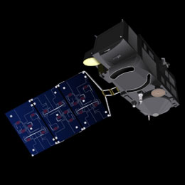
Chinese Ocean Colour and Temperature Scanner (COCTS) and Coastal Zone Imager (CZI)
|
||||||
Other Data Sets
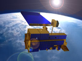
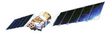
- NASA Ocean Color Data Archive – CZCS, SeaWiFS, OCTS, MERIS, MODIS-Aqua, MODIS-Terra, VIIRS, HICO
- Giovanni – Web-based interface for visualization and analysis of Earth Science data provided by NASA’s GES DISC DAAC.
- Ocean Colour Climate Change Initiative (CCI) – This project focuses on the ocean colour ECV encompassing water-leaving radiance in the visible domain, derived chlorophyll and inherent optical properties and utilises data archives from Copernicus, ESA, NASA and NOAA.
- GlobColour – Merged L3 ocean colour products from SeaWiFS, MERIS, MODIS, VIIRS NPP, OLCI-A, VIIRS JPSS-1 and OLCI-B (2005 – present).
- Ocean Productivity home page – Oregon State University, USA
- Canadian Department of Fisheries and Oceans – Semi-monthly composites of the Atlantic Zone (SeaWiFS, MODIS)
- Ocean Colour Essential Ocean Variable (EOV) Specification Sheet
Supporting In-Situ Data
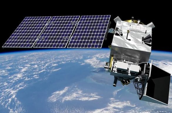
- HyperInSpace – Hyperspectral in situ support for PACE
- See ASCII File Format Guidelines for Earth Science Data – recommended practices for formatting and describing ASCII encoded data files for SeaBASS.
- SeaWiFS Bio-Optical Archive and Storage System (SeaBASS)
- NOMAD (NASA bio-Optical Marine Algorithm Data set), includes coincident observations of spectral water-leaving radiances, surface irradiances, diffuse downwelling attenuation coefficients, and chlorophyll a concentrations, along with relevant metadata, such as the date, time, and coordinates of data collection.
- BOUSSOLE – Buoy for the acquisition of long-term optical time series.
- Continuous Plankton Recorder (CPR) Database: Sir Alister Hardy Foundation for Ocean Science (SAHFOS). See description of the CPR surveys which have been carried out since 1931, and which include phytoplankton species counts as well as the Phytoplankton Colour Index (PCI).
- British Oceanographic Data Centre (BODC)
- ICES Data Centre (International Council for the Exploration of the Sea)
- International Oceanographic Data and Information Exchange (IODE)
- Japan Oceanographic Data Center (JODC)
- National Environmental Satellite, Data, and Information Service (NESDIS)
- NOAA National Oceanographic Data Center (NODC)
- US JGOFS Data System Data Set
- A compilation of global bio-optical in situ data for ocean-colour satellite applications Version 3 (2022). Article
- GLORIA dataset and data descriptor
Synthesized Datasets for Testing Algorithms
- Synthesized Dataset from IOCCG Report 5. This dataset contains both inherent optical properties (IOPs) and apparent optical properties (AOPs) for testing and comparing algorithms, as in IOCCG Report 5. Please cite this report as follows if you use the dataset:
IOCCG (2006). Remote Sensing of Inherent Optical Properties: Fundamentals, Tests of Algorithms, and Applications. Lee, Z.-P. (ed.), Reports of the International Ocean-Colour Coordinating Group, No. 5, IOCCG, Dartmouth, Canada. - Synthesized Dataset from IOCCG Report 10. This dataset was developed to compare the performance of various atmospheric correction algorithms. Data are provided for open ocean (Case-1) waters and for non- or weakly-absorbing aerosols (generally present in the open ocean). Examples from coastal Case-2 waters (sediment-dominated and yellow-substance dominated waters) and from strongly-absorbing aerosols are also provided. Please refer to IOCCG Report 10 for details and cite this report as follows if you use the dataset:
IOCCG (2010). Atmospheric Correction for Remotely-Sensed Ocean-Colour Products. Wang, M. (ed.), Reports of the International Ocean-Colour Coordinating Group, No. 10, IOCCG, Dartmouth, Canada.
Aircraft Remote Sensing Data
- Chesapeake Bay Remote Sensing Program (CBRSP): A study of phytoplankton blooms in the Chesapeake Bay using aircraft remote sensing since 1989, and includes data from both the ODAS and SAS sensors.




 The 6th International Ocean Colour Science (IOCS) meeting was held in Darmstadt, Germany from 1 – 4 December 2025, hosted by EUMETSAT and ESA. All meeting material is available is on the archive webpage.