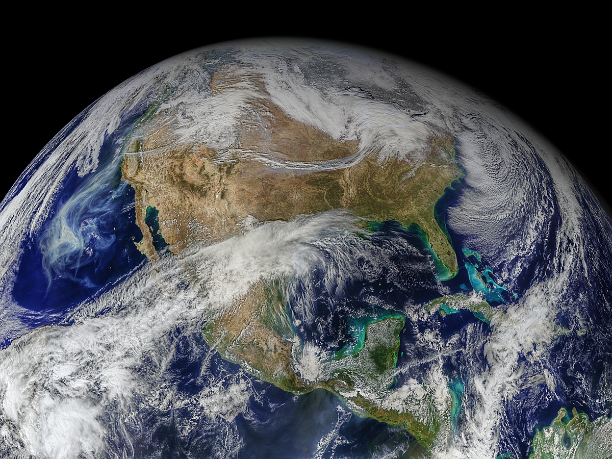
First Light Imagery from VIIRS on NOAA-20
Description
This image represents the beginning of operations of the VIIRS sensor on the NOAA-20 satellite (JPSS-1). The data used to construct the image were collected on 13 December 2017, just after the instrument’s doors were opened.
Credit: NASA Ocean Biology Processing Group (OBPG)
Satellite Data : Visible Infrared Imaging Radiometer Suite (VIIRS) on NOAA-20


 The sixth International Ocean Colour Science (IOCS) meeting will take place in Darmstadt, Germany from 1 – 4 December 2025, hosted by EUMETSAT and ESA with support from other agencies.