Visible Infrared Imager Radiometer Suite
 |
|
- VIIRS data available through the NOAA Comprehensive Large-Array Data Stewardship System (CLASS)
- NASA’s multi-mission browse/order/distribution web browser - includes S-NPP VIIRS visual browse tool
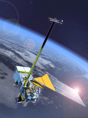
- Suomi NPP (Suomi National Polar-orbiting Partnership)
- VIIRS, Raytheon
- Joint Polar Satellite System (JPSS)
- Update on NOAA Ocean Colour Activities: VIIRS et al. Presentation by Cara Wilson (NOAA) at the 1st IOCS meeting, May 2013.
- Suomi National Polar-orbiting Partnership (NPP): VIIRS data product assessment, K. Turpie, NASA OCRT Meeting, 23-25 April 2012 [PDF File]
- Distribution of NPP/VIIRS data through the NOAA Archives, Axel Graumann, NASA OCRT Meeting, 23-25 April 2012 [PDF File]
- Restructuring the National Polar-orbiting Operational Environmental Satellite System, 23 February 2010
- Updates on NPP/NPOESS; NOAA Ocean Color Activities, Dr. Paul DiGiacomo, 14th IOCCG meeting, Paris, February 2008. [PDF File]
- Update on the VIIRS Sensor, Dr. Robert E. Murphy, MODIS Science Team Meeting, July 2002. [PDF File]
Back | Ocean-Colour Sensors | Home